
Sources for LaPlace Neighbor Blocks
The immediate block has several public layers, but each answers a different question. St. John Parish GIS gives the spatial frame. Assessment and deed records add parcel and ownership roles. Election tools add precinct context. Planning files may document land use or work at an address. None of these is a private household membership list.
| Block source | What it shows near an address | Access route |
|---|---|---|
| St. John GIS | Adjacent parcel polygons, address points, aerials, flood, zoning, precinct and council layers | Public viewer and Feature Data |
| Assessor search | Parcel identifiers, physical and mailing fields, owner display, legal-description fields | Public portal or assessor inquiry |
| Clerk deeds and plats | Recorded parties, adjoining lots, servitudes, subdivisions and legal descriptions | eClerks, image purchase, or office |
| SOS address form | Address and precinct-related election result | Free current portal |
| Planning and code files | Permit, zoning, preservation, or violation history by address when released | Account, counter, email, phone, or request |
| Dated directories | Former people or businesses listed at an address in one year | Library, State Library, or archive inquiry |
Owners and occupants are not synonyms. The block table helps select a source without overstating what its result proves about your LaPlace neighbors.
Map the LaPlace Block Outward
Use the St. John public GIS viewer to move from one address to the lots around it. The research capture did not expose a text-readable neighbor card or a documented radius tool. Use click, browse, visible address points, and Feature Data instead of claiming the map has an automatic neighbor search.
- Find the physical address in the assessor or GIS and note its parcel mapping number.
- Identify parcels touching the lot, across the road, or divided by a canal or servitude.
- Record parcel IDs and source-displayed addresses, not a copied list of private owner names.
- Turn on flood, zoning, precinct, and council-district layers when they answer a civic question.
- Confirm any important boundary or adjoining-lot claim through the Clerk’s deed or plat.
- Stop at land geography unless a lawful family, historical, or civic purpose requires another record.
The process is address to polygon, polygon to adjacent parcel, parcel to assessment record, and deed only when legal confirmation matters. A broader named-road search belongs in the LaPlace street directory.
Read LaPlace Neighbor Map Layers
The parish describes public GIS layers for aerial imagery, streets, addresses, parcels, flood zones, voting precincts, zoning, and council districts. These layers show why a block is more than a row of names. A canal can separate two lots. A zoning edge can change permit history. A precinct or council line can divide addresses that share the same postal label.
The GIS parcel and address viewer is shown in the captured image.
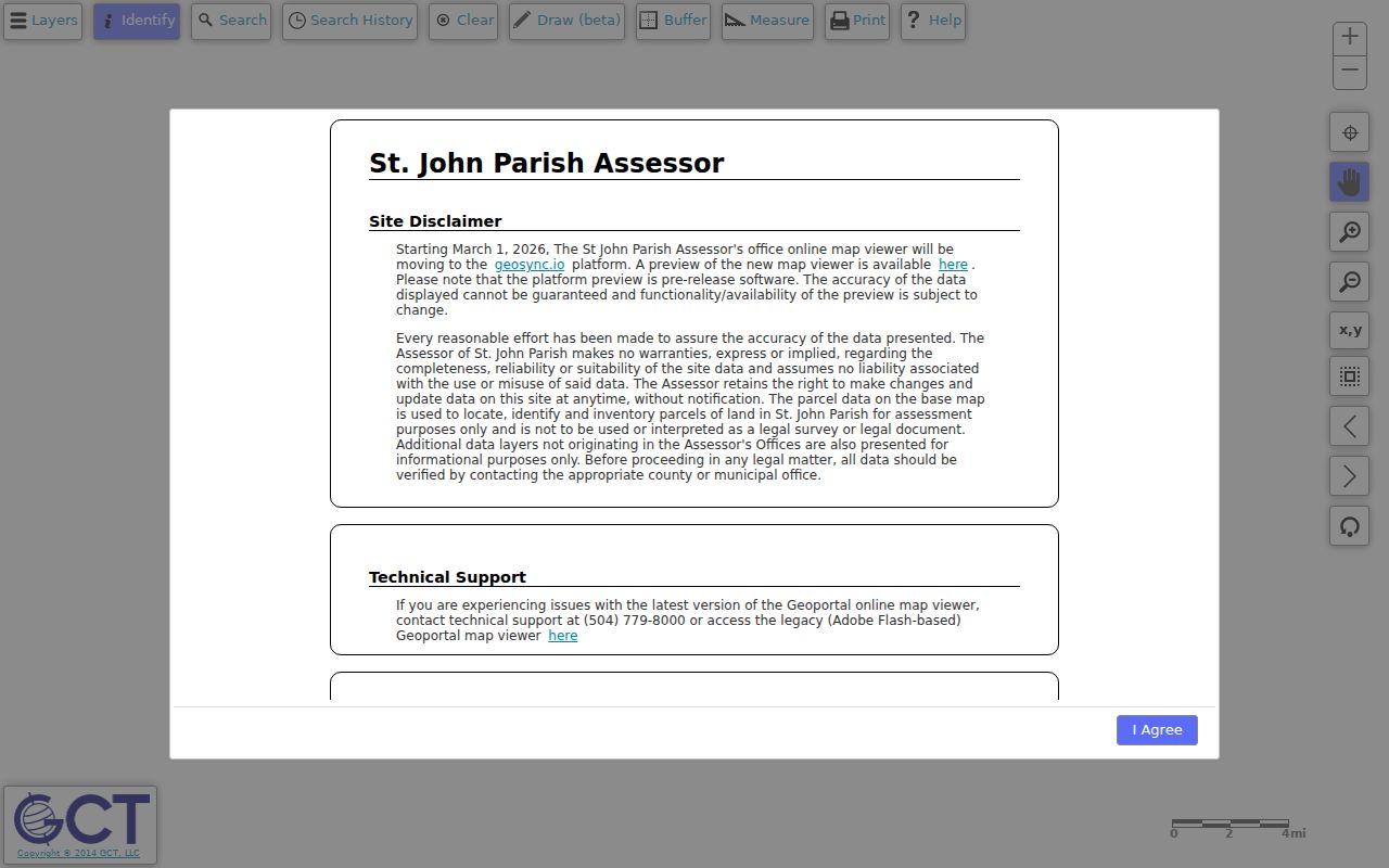
The map helps define the immediate area around an address. Its own disclaimer means the polygon must not be treated as a survey or legal boundary.
A current parish notice announced the viewer’s move to GeoSync on March 1, 2026. The preview was marked pre-release, with accuracy and functionality not guaranteed. Keep the parcel identifier and source date so a future viewer change does not break the block trail.
Separate LaPlace Owners and Neighbors
The St. John Parish Assessor search can use assessment number, parcel mapping number, owner or business, physical street number, physical street name, and other physical street text. A result shell may show lot, block, subdivision, legal description, physical address, mailing address, neighborhood, and ownership percentage. Confirm the live fields for the parcel being researched.
A tax mailing address is where correspondence goes. It may be outside LaPlace. A physical or situs address identifies the assessed location, but it does not name every occupant. Homestead status, if displayed, is an assessment field and should not be turned into a household roster. The safe phrasing is “recorded owner,” “tax mailing recipient,” or “address associated with the parcel.”
- Adjacent parcel
- A separate mapped land unit that touches or faces the starting parcel.
- Situs
- The physical assessment location, distinct from an owner mailing address.
- Servitude
- A recorded right affecting land use or access, often called an easement elsewhere.
- Legal description
- The deed’s lot, block, subdivision, or metes-and-bounds identification.
Compare LaPlace Neighbor Sources
Official rolls and commercial neighbor tools serve different roles. Government sources identify the custodian, record purpose, and access path. Commercial databases can combine old, licensed, or public data without showing why a person was linked to an address. They may charge for a broad match while still lacking current proof.
| Question | Official record route | Commercial category |
|---|---|---|
| Which parcels touch? | Parish GIS, then recorded plat if needed | Map display may omit source authority |
| Who is the recorded owner? | Assessor lead and Clerk deed confirmation | Name aggregation may be stale |
| Which precinct serves the address? | Secretary of State voter address portal | Not the custodian for election routing |
| Who occupies the home now? | No complete public household roster | Association does not equal verified occupancy |
Use the source closest to the fact. When the public record stops, do not fill its gap with a guess about your neighbors.
Keep LaPlace Voter Results Civic
The Louisiana voter address form asks for ZIP, address, optional apartment or lot, and city. It is useful for polling and precinct questions. It is not a ZIP-wide or block-wide household list. The parish selector confirms St. John the Baptist routing, while the individual form separately requires a name, ZIP, and birth month and year.
Louisiana law protects Social Security and driver-license numbers, day and month of birth, mother’s maiden name, email and messaging data, and specified military or overseas details. The Address Confidentiality Program also gives eligible relocated survivors a substitute address. A substitute or no-match must not be investigated through nearby parcels.
Privacy limit. Use neighbor records for lawful civic, family, safety, or history work. Never monitor, repeatedly contact, stalk, harass, or expose a person.
LaPlace Community Directory Gap
No authoritative LaPlace neighborhood-association, HOA, civic-council, or block-watch directory was located. That gap matters. Subdivision names in GIS, assessor, or deed fields describe land records; they do not prove an active association, membership, leadership, or contact list. Do not invent an organization from a subdivision label.
Parish Government
St. John Parish Government provides department and public notice routes, but no official neighborhood association index was found.
Historic District Commission
Historic District Commission covers preservation geography and public agendas, not household membership.
Parish Library
St. John Parish Library provides community and research resources, but no block roster was found.
GACHGS
German-Acadian Coast Historical and Genealogical Society offers local-history links, not a present-day neighbor list.
For a real community group, confirm its current official page and public contact channel. Private membership and congregation rosters remain outside the public block layer.
LaPlace Neighbors in Historic Geography
The parish identifies four historic districts: Garyville, LaPlace, Reserve, and River Road. A Louisiana Division of Historic Preservation grant supported design guidelines, and current commission agendas document preservation activity. For an address inside that geography, planning applications and agenda items may add public context beyond ordinary zoning.
An agenda entry can identify an address, proposed work, or place name. It is not proof of ownership or occupancy. Older German Coast records may use church parishes, plantations, and River Road landmarks rather than today’s subdivision or street. Translate that place label through later deeds and maps before tying it to a modern block.
Myth check. A parcel owner, voter portal match, or old directory line does not by itself prove who currently lives next door.
Find LaPlace Block Activity Records
Planning and Zoning lists permit routes for private streets, signs, demolition, land disturbance, culverts, excavation, occupancy, zoning verification, subdivisions, variances, and other work. Applications can go through MGO Connect or the office. No public address-indexed permit search was found, so ask for a narrow record tied to a known site.
Code Enforcement can provide an address-based violation summary or history by email at code@stjohn-la.gov or by phone at 985-359-1195. The parish gives a typical response of one to two weeks. Records can describe inspection, notice, cure, abatement, hearing, or lien stages. They show administrative activity, not the identity or behavior of everyone nearby.
Limits on Finding LaPlace Neighbors
Public maps cannot show renters, children, guests, utility customers, delivery recipients, protected voters, or all household members. Deeds establish recorded land interests. Assessment rolls support taxation. Postal tools format addresses. Election forms route voters. A dated directory records what its publisher listed in one year.
A no-result can come from a road alias, unit stored in another field, portal migration, neighboring parish, source coverage gap, or confidentiality rule. LaPlace 70068 is a sharp example: the historical postal crosswalk also assigns LaPlace as the mailing city for Montz in St. Charles Parish. Verify the parcel and parish before assuming the address belongs to St. John.
Keep an evidence line with date, source-displayed address, source type, exact role, parish or ZIP, and confidence issue. Use “listed at,” “recorded owner,” or “associated with” when that is all the record supports. That discipline protects both accuracy and your LaPlace neighbors.